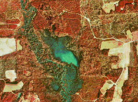
DOQQs (Digital Orthophoto Quarter Quads) are digital aerial images produced by the USGS. These are geometrically corrected so that the scale is uniform: since it has the same lack of distortion of a map, it can be used to measure true distances. DOQQs are commonly used while creating GIS programs and softwares.
The DOQQ shown above is a color infared from 1998, showing part of Flowers, NE.
No comments:
Post a Comment