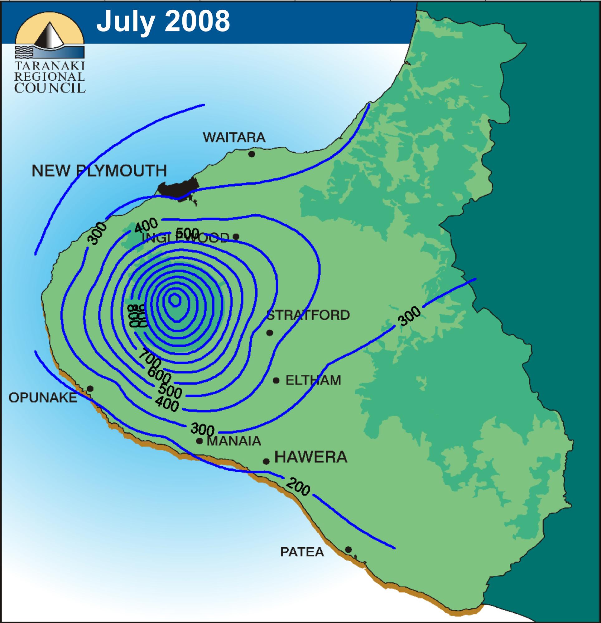
Isohyets are lines on a map that connect points that receive equal areas of precipitation over a given period of time. Like isobars and isotachs, isohyets are very useful when looking at weather patterns and upcoming forecasts. High isohyets will alert meteorologists of high rainfall, and this knowledge will help people plan ahead when looking at their local weather forecasts.
The isohyet map shown above depicts this month's rainfall for the North Island of New Zealand.
No comments:
Post a Comment