http://www.aralmodel.unesco.kz/ch_2_e.htm
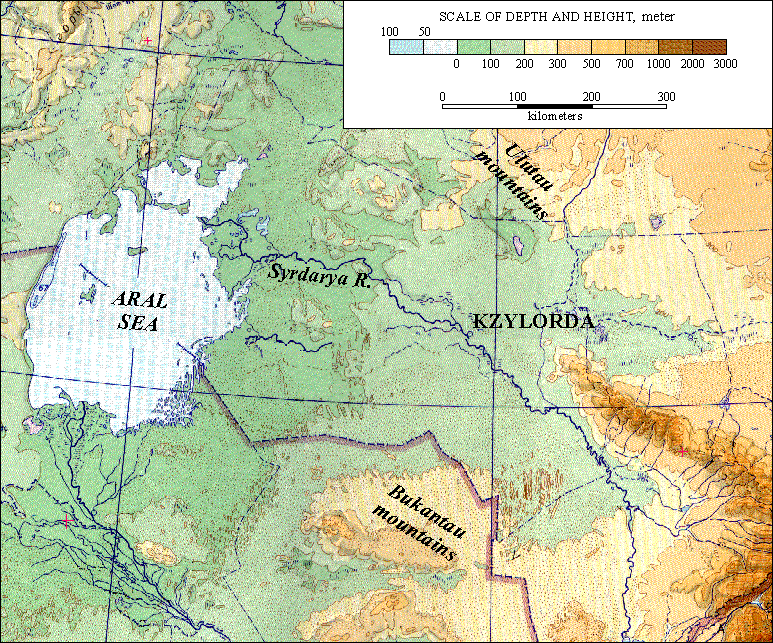
Hypsometric maps represent the elevation of the terrain by using colors. They utilize specific tints, with each tint representing the area between two neighboring contour lines. Ranges of elevation are usually depicted as bands of color (hence, tints). This color method is most common in topographic maps with small scales, as continuous gradients or intervals. The order of the colors tends to depend on the different sets of rules used for such maps.
The hypsometric map shown above is of the Eastern Priaralye.
No comments:
Post a Comment