http://personalpages.manchester.ac.uk/staff/m.dodge/cybergeography/atlas/census.html
Statistical maps are maps that simply specialize in conveying specific ranges of accurate data. The variation in quantity of a factor is indicated, and this factor is numerical. Several types of maps can be statistical: dot maps, choropleth maps, etc. What matters is the information on the map, not what type of map it is. This numerical information can take many forms: rainfall, population, crops, etc.
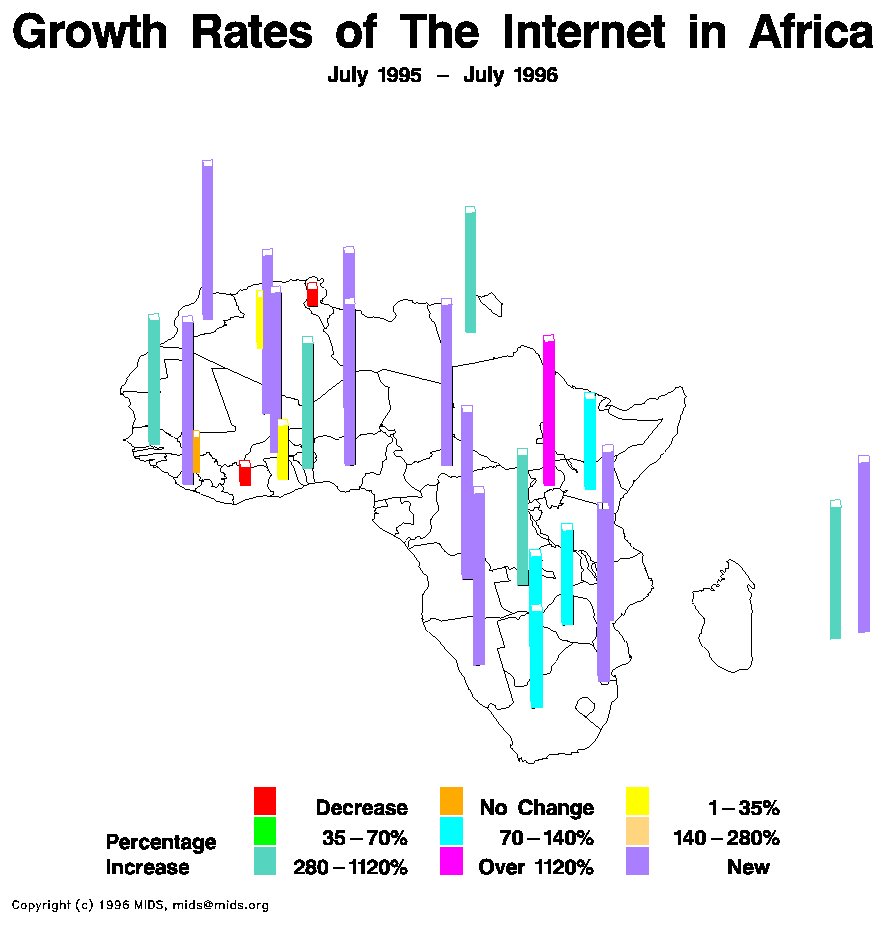
The statistical map shown above features the growth rates in Africa from July 1995 to July of 1996. The information is depicted linearly, and colors are used to indicate ranges of change (in percentages).
No comments:
Post a Comment